CEWARN Unit conducts GIS training programme for Kenya national CEWERU
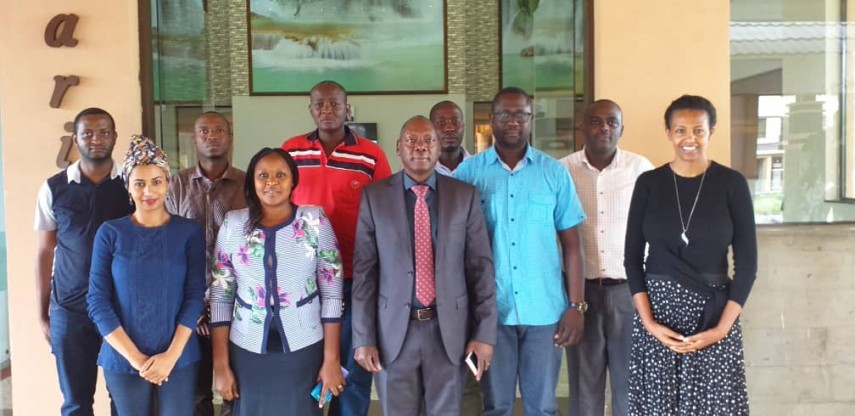
CEWARN Unit is conducting a training programme on Geographic Information System (GIS) for Kenya National Conflict Early Warning and Response Unit (CEWERU) on 12-16 November 2019, at Hilton Hotel in Nairobi.
The training targeted Kenya National Situations Room technical staff, National Statistics department and field based local government staff to better equip them in analysis and dissemination by using an online system.
The main objective was to provide participants with necessary skills that will enable them to fully utilize the functionalities of a software platform that has been made available to them to support its data gathering and analysis.
The GIS software tool has been acquired by the CEWARN Unit with a 2-year subscription from the Environmental System Research Institute (ESRI) to provide ArcGIS online services that will host its shared conflict data and online map resources on conflicts in the region with Member States.
The training programme will be conducted in all Member States and will allow them to be able to upload and download GIS data on conflicts and for the CEWARN Unit to have access to the information through a shared group account.